

HOCHTIEF USES DRONE SURVEYS, PILOTED FROM MADRID, FOR ADVANCED DIGITAL SITE DATA
Partnering with Skyports and DroneDeploy, HOCHTIEF is using advanced automated drone surveys, piloted remotely from Madrid, to create in-depth digital site surveys of the A1 Rhine Bridge in Leverkusen, Germany.
Location: Germany
Industry: Construction
Drone used: DJI Dock 2
Core partner: DroneDeploy
The challenge
Accurately monitoring construction progress at a large and complex site
HOCHTIEF is an engineering-led global infrastructure solutions provider with leading positions in North America, Australia and Europe.
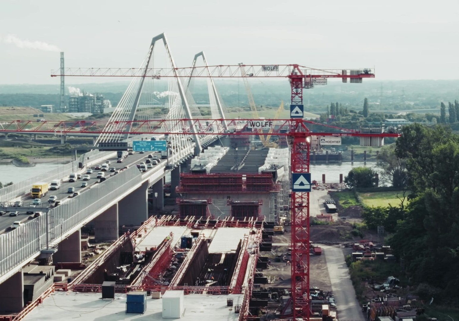
It is currently leading on the construction of the A1 Rhine Bridge in Leverkusen, Cologne, which is a central infrastructure project in Germany. It is scheduled to be completed in 2028.
A vast and intricate site, it involves thousands of individual tasks, which all need to work together to ensure the build runs smoothly and on time. This makes site surveys invaluable for identifying issues early.
HOCHTIEF has used drone surveys previously, but these were conducted in person. This came with restrictions in pilot scheduling, and having to fly within visual line of sight, limiting how much of the bridge could be surveyed in a single flight.
The solution
Remotely piloted drone surveys, with advanced survey data processed through DroneDeploy
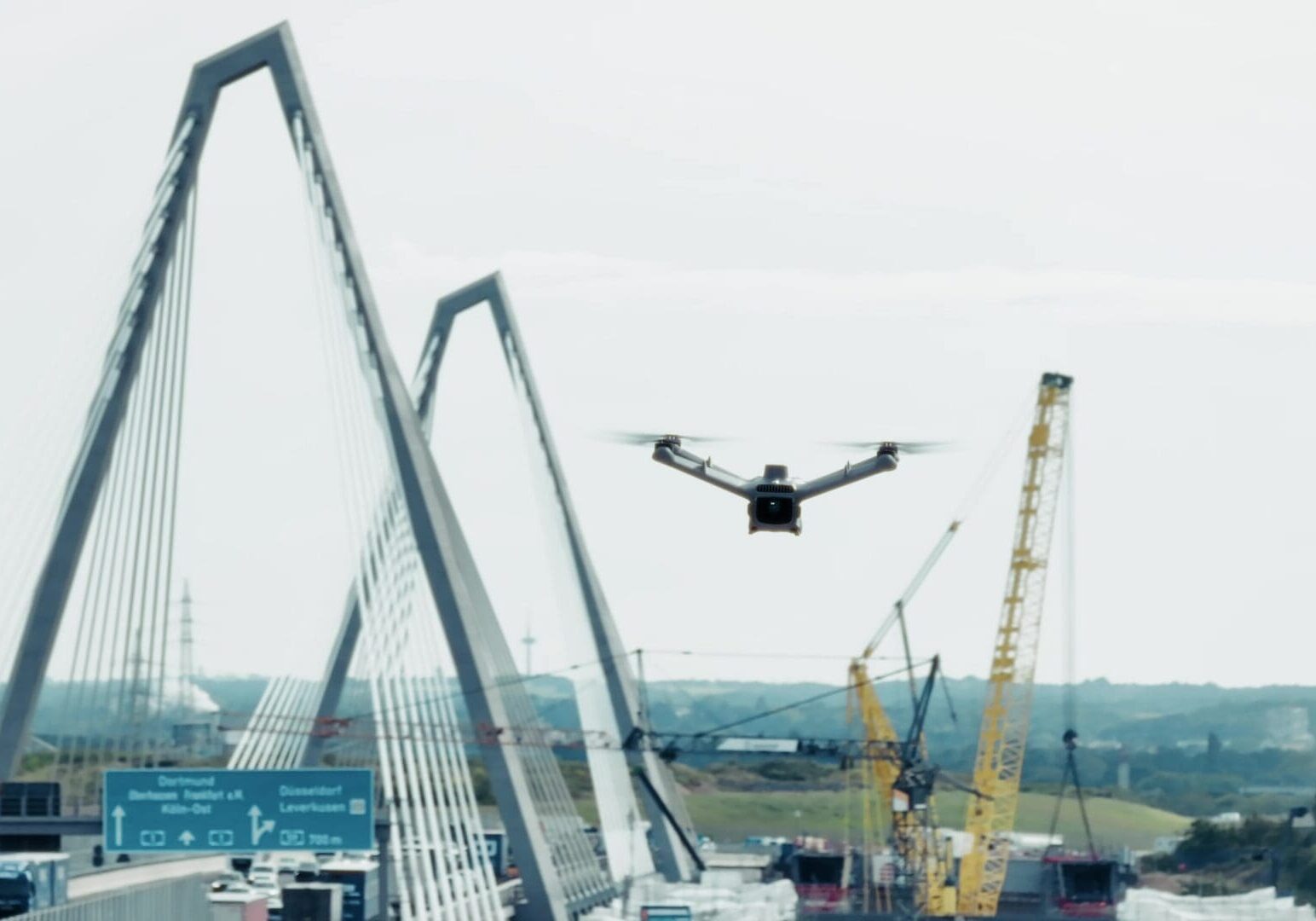
Partnering with Skyports, HOCHTIEF installed a DJI Dock 2, which lives at the site permanently and will remain for the duration of the build.
Once a week, Skyports' pilot, based 1,000 miles away in Madrid, connects to the drone, overseeing whilst it carries out its fully automated BVLOS survey of the entire construction site.
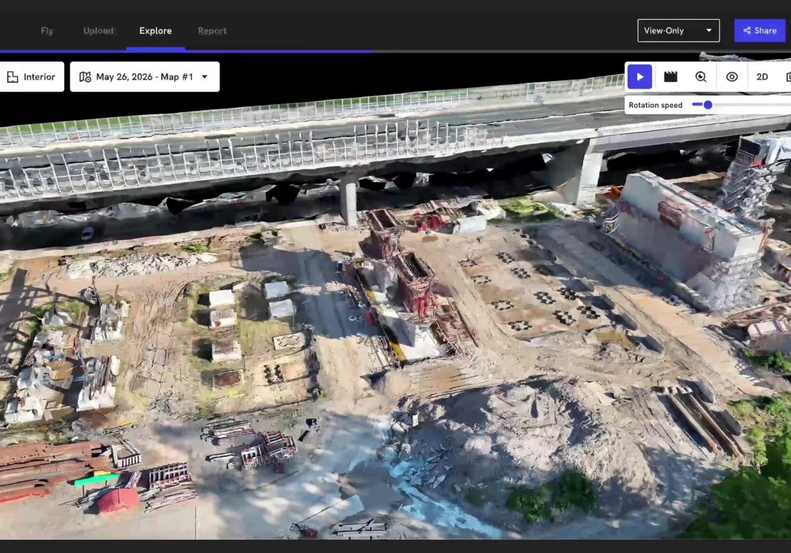
Once the survey data is gathered, it is then uploaded to DroneDeploy - a reality capture platform, that provides advanced insights on the survey data captured and the overall build.
The result
Seamless and cost-effective monitoring, with precise and advanced survey data
Through DroneDeploy, HOCHTIEF is able to create both 2D and topographical maps, and 3D models of the construction site.
This helps with clearly and accurately tracking changes over time, making comparisons between designs and as-built, and quality monitoring.
With this data, HOCHTIEF can improve site documentation and communication, reduce the risk of expensive rework and save time spent on in-person inspections, optimizing construction.
By opting for Skyports' remote piloting, HOCHTIEF is able to take advantage of immediately deployable drone surveys, which are more cost effective than in-person piloting.
TESTIMONIAL
"The service has provided seamless and cost-effective monitoring of the progress of our site.
Collecting data with drones will be a key factor in improving efficiency, accuracy, and decision-making on our HOCHTIEF construction sites."

Philip Schulze,
Project Manager, HOCHTIEF